Of course, I've been keeping track of all of my planning on my website.
I kicked off the topic with map skills, as described in a previous post, beginning with the compass rose.
In our second session on this topic, March 29th, we covered latitude and longitude. For this it is helpful to have graph paper, a globe, and at least one large yoga ball. We first reviewed how ancient people knew the Earth was round. I love acting this out with kids using my long staircase. Then we looked at graph paper and the globe. We identified the Equator and decided that Illinois is north of the Equator, and identified the Prime Meridian and decided that Illinois is west of the Prime Meridian. Note: For my own preparation I first re-read chapters 21 (The Curvature of the Earth) and 22 (Longitude and Latitude) from Geology and Astronomy by Charles Kovacs.


Next I had the children look at our classroom globe and guess the coordinates of our current location. I also explained that we use the word coordinates because latitude and longitude have to coordinate, which means work together. If you just have one of the pair, you're just going around the world in circles on that one line and you don't know where to stop! A large yoga ball is helpful for this becuase they have ribs which go around them. Simply run your finger around and around one endlessly, as if you know the latitude but don't know the longitude, so the kids can see how silly that would be. Pass the yoga ball around and let them try it and feel it for themselves. The tactile sensation helps them remember the concept better.
Then I used the compass on my cell phone to get our exact lat/long.
Next it was time to turn our attention to Illinois. I passed out 11 x 14 paper and challenged the children to draw the shape of Illinois freehand.
After they each gave this their best shot, I
showed them the shape (I got a large Illinois cutting board). Then I
asked the group if they know any of the names of the rivers which are the boundaries of our state...
or the names of any of the states that border Illinois?

They didn't! So we
did a Montessori material, United States Location Color Set, as a group (with the
United States Control Map for assistance).
In our third session on this topic, April 5th, we covered scale.
We started by looking at the U.S. map, reviewing the IL neighboring states, and reviewing compass rose and latitude and longitude. Then we looked at the U.S. map again, and I explained that two states are "not to scale" and showed on the globe how big Alaska is and where it is and how small Hawaii is and where it is.
I find there's nothing better than this wordless picture book to help them understand scale...

Looking Down
by Steve Jenkins
So, in short, I explained how scale is how much you're zoomed in or zoomed out. And we looked at a map to see how scale is conveyed as a line with
a measurement next to it (one inch = 100 miles, for example).
I asked the group to imagine how big a paper map would need to be to show the continental U.S. plus Alaska and Hawaii at the correct size and distance. A U.S. map with those two drawn to scale. Seeing, or making, a map like this was always one of my dreams as a child. I think it would be fascinating!
Then I had each child trace the shape of Illinois onto 11 x 14 inch white paper. We measured the distance across the greatest width of the cutting board, looked up the distance across the state, and divided to calculate the scale of the cutting board (1 inch = 23 miles).
Next, I told the group I was giving them a new challenge. And I asked them to draw the locations of major historical events on their map of Illinois.
At which they stared at me blankly, and guessed the names of several wars. World War II?
It was time to learn some more about what has happened in Illinois history. Happily, I borrowed one of the Lincoln's Legacy kits from the public library. I've only recently learned about these and they are great! They're completely free and full of cool things (a piece of hardtack, a cone of sugar, and much much more); there is so much in the kit and it comes in a suitcase! I had the suitcase in the classroom for a week without opening it, to build up the suspense. Of course we were very excited to break into it!
So we opened and begin to look through the "Civil War Solider Kit."
We looked at the artifacts and guessed the purpose for some of them. We looked carefully at the photographs of real soldiers, which is in Folder B.
Then I read aloud chapter 4 "Camp Life" from The Civil War for Kids: A History with 21 Activities, which was also in the suitcase, and we revisited some of the artifacts in the kit.

And yesterday, in our fourth session, we really moved fully from map skills into History. It was a warm and beautiful day and so we started outside with some Civil War era games. My main text for the Civil War is USKids History: Book of the American Civil War (Brown Paper School). I loved their book for the Human Body and I am loving this one as well.

We started the afternoon by shooting marbles outside. I read page 29, "Playing on the Plantation." The directions for playing marbles were on page 31, and there were also directions in the marble pouch, which was in the Civil War Soldier Kit. Next we played "Goosie, Goosie, Gander" (page 30) and then came back inside, got a drink of water and rested, and played "I Spy" (page 29).
Then I read the class page 7, "Boys in Battle." And I asked them, does anyone know what the Civil War was about? And I explained to them that it was a complex issue and a lot led up to it. We started with looking at the Statehood Dates (PDF). I got out more of the blank U.S. maps from the United States Location Color Set except, instead of coloring them, we numbered each state with the order in which it entered the Union. Again, it helps to have the United States Control Map available for assistance.
We went from states 1 to 37 and then stopped. I circled number 35 (West Virginia) and wrote the year it became a state. West Virginia was anti-slavery and broke away from Virginia over the Civil War. It is quite dramatic to be moving West, because of Westward Expansion, numbering your states one at a time, and then suddenly dart back over to the East because a new state has formed.
And I drew a squiggly line around the shape of Kansas and Nebraska. I read page 35, "The Land Called Them" and page 43, "The Compromise of 1850." As I lay my pencil down to show the line between South and North on our paper maps, one of my students commented, "Our state is on that line." And I asked them, does anyone know how Illinois landed on this issue? Was it a slave state or a free state?
I didn't answer the question at that time. I left it to sit with them, and it will be revisited next session.
I read page 47, "Slavery is Spreading" and "A New Party," and then I showed them the pictures on pages 48 and 49 and told them that Illinois is very proud of Abraham Lincoln because Lincoln was the one who freed the slaves and he was from Illinois. So next week, we will get into the Lincoln-Douglas debates and start to plan some local field trips.
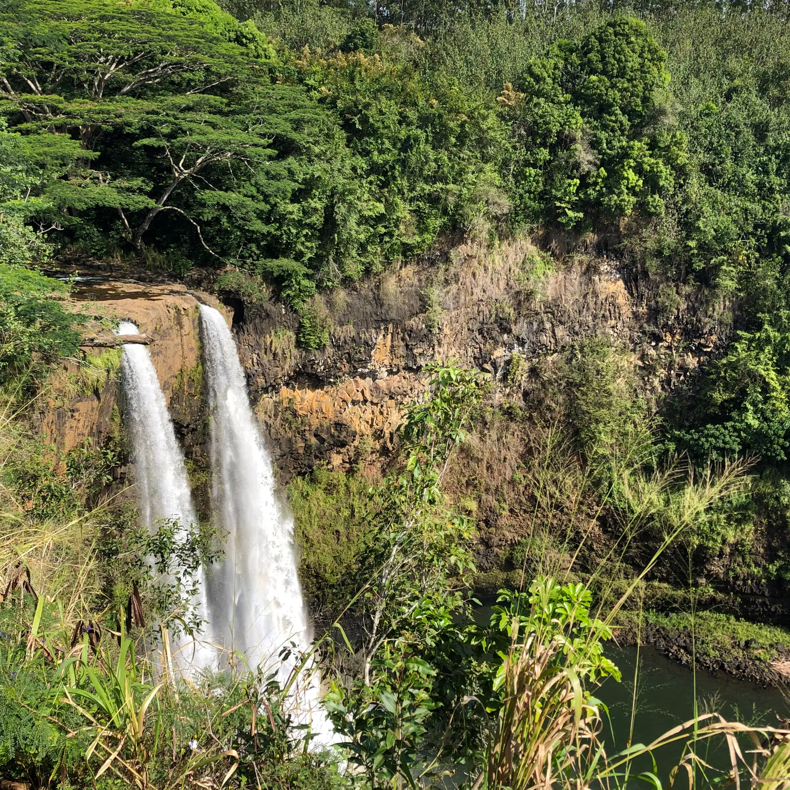
The kids did want to know what numbers to put on each of the other states, so we quickly finished our maps. I explained that only a few short months passed between Alaska (January 3, 1959) and Hawaii (August 21, 1959) joining the U.S. So that means that there are flags with 49 stars on them, but not very many were made. When my mom and aunt were going through this house, after my grandfather moved out, they found a flag with 49 stars on it. I wish I could have seen it!
This post contains affiliate links to the materials I actually use for homeschooling. I hope you find them helpful. Thank you for your support!

 Immersive Experience
 Immersive Experience
 Immersive Experience


No comments:
Post a Comment