Art Beyond Sight: A Resource Guide to Art, Creativity, and Visual Impairment
I also realized, while looking for more examples of tactile diagrams, that Science, Geography, and Math lessons need to be able to be presented through tactile graphics as well. Think textbook diagrams (such as the four chambers of the heart), world maps, and mathematical charts and graphs.
Here are some interesting things I discovered:
Guidelines and Standards
for Tactile Graphics, 2010
brailleauthority.org
texture palette (JPG)
We study maps first in Grade 4 Local History & Geography in Waldorf, and revisit them during the Age of Exploration in Grade 7. It would be nice in either or both of those blocks to share something about maps that can be read with the fingertips!

Ukraine

Israel - Gaza Strip and the West Bank

Suez Canal
Antarctica
layers of the Earth and a volcano
map of a running path
an asteroid
I had to get out my Braille alphabet to figure this diagram out!

here's the closeup of the words Mercury and Sun

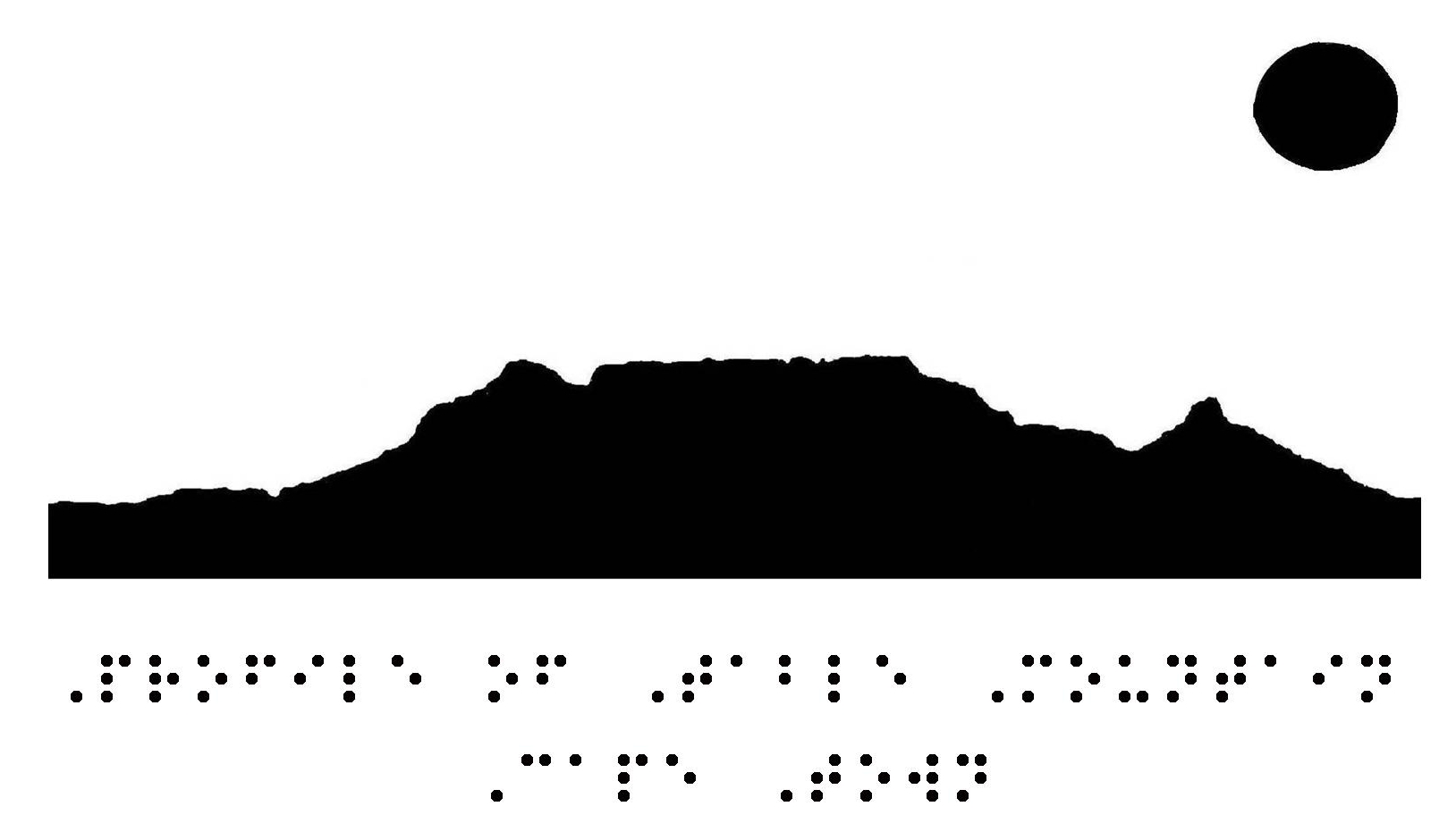
Profile of Table Mountain
Cape Town
I read this one too, thanks to
Six Dots: A Story of Young Louis Braille
by Jen Bryant
This post contains affiliate links to materials I truly use for homeschooling. Qualifying purchases provide me with revenue. Thank you for your support!


 Immersive Experience
 Immersive Experience


No comments:
Post a Comment